Hello everyone
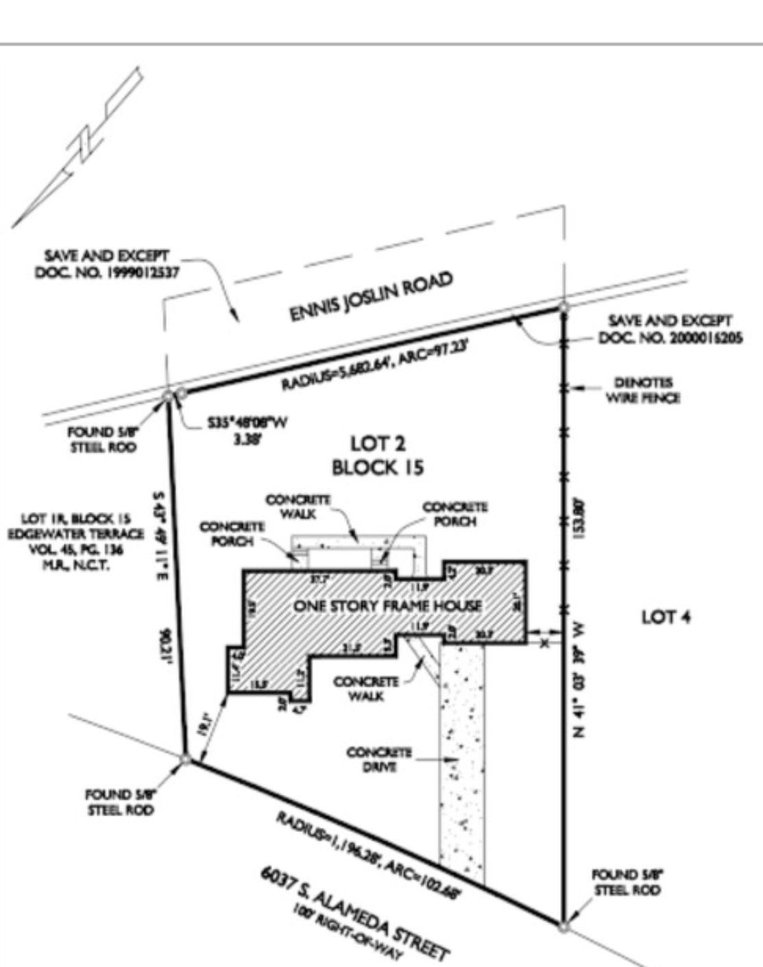
A newbie here at making plans and site plans. I've attached a survey of a lot. This particular survey doesn't include the top and bottom coordinates, only the left and right and a small corner at the top left.
For the top and bottom lines it only has the Radius and Arc length. I was wondering if I really need the top and bottom coordinates or is there another was
to get this lot as accurate as possible other than trying to trace it? Thanks for everyone's help in advance.
Jonathan