Hello,
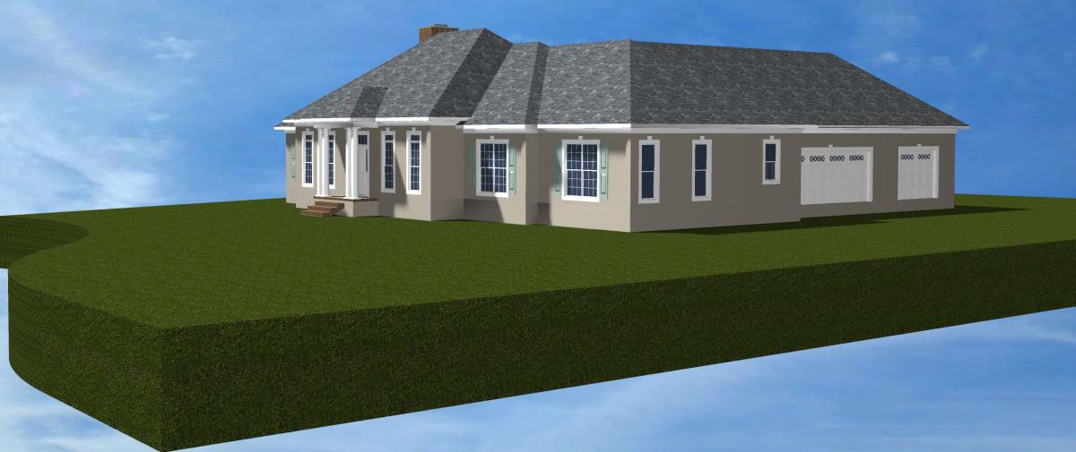
We designed and constructed a project on an acreage lot. We are getting more into 3D modeling and I want to try to do some shot points, adjust topography, import Google Earth topography, etc. Historically, I've only used siteplan in a somewhat generic form to label approx. water lines, utility easements, etc.
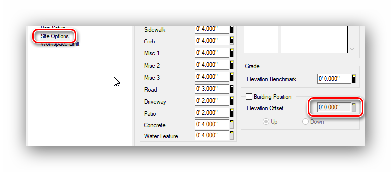
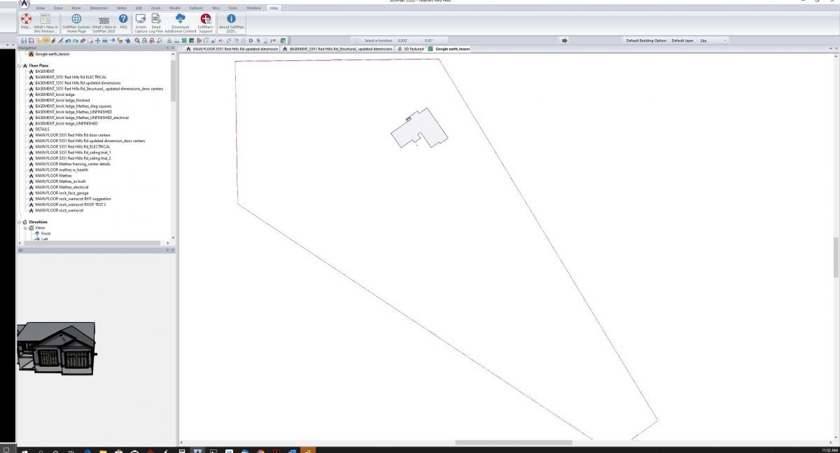
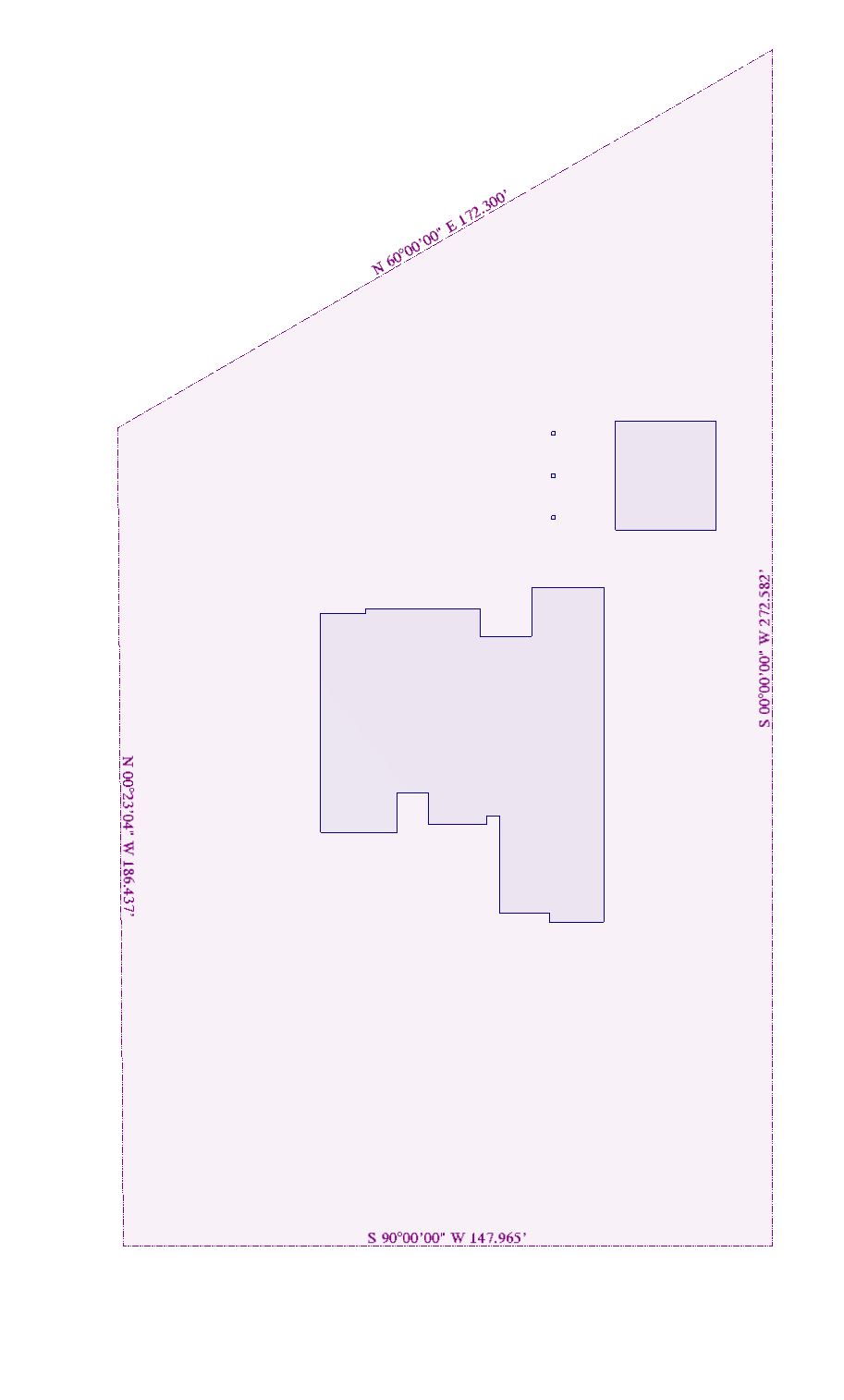
I'm have entered all the site lines based on the engineer's plat map. I adjusted site line lengths, bearings, etc. It all looks accurate but I can't get anything to adjust, for the life of me, to place the building where we actually built it. Here is a better explanation:
1. I created a building outline and I was able to place the building outline in the site polygon on the site plan tab. When I place this plan at the bottom of the model stack, it does not show up in the model and all I see is my project floating in blue sky background (in space basically).
2. When using the site plan mode in the main floor plan drawing, I can't move the building within the site plan, rotate it, etc. The site polygon sits below the building and when I moved them now I have all sorts of messed up things in 3D (baseboard extending into space, tray ceiling floating outside the house, etc.).
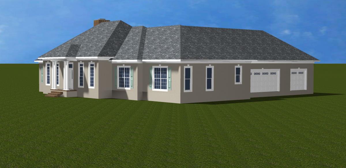
I was just wanting to create the actual siteplan and place the as-built house on it to show the rendering vs actual construction on our website.
Any advice?
Thanks!